- 0 replies
- 1,579 views
- Add Reply
- 0 replies
- 2,188 views
- Add Reply
- 0 replies
- 2,338 views
- Add Reply
- 1 reply
- 1,729 views
- Add Reply
Happy Belated GIS Day
Copernicus Emergency Management Service releases GloFAS v4.0 hydrological reanalysis

By Lurker,


A new, substantially upgraded hydrological reanalysis dataset of the Global Flood Awareness System (GloFAS) from 1980 to July 2022 has been produced by the Joint Research Centre (JRC) of the European Commission in collaboration with ECMWF and released as part of the Copernicus Emergency Management Service (CEMS). It puts river discharge and flood events during that period at the fingertips of users.
The GloFAS v4.0 reanalysis includes daily maps of discharge over the globe at a resolution o
The New RIEGL VZ-600i

By Lurker,


RIEGL’s new era of Terrestrial Laser Scanners: the VZ-600i stands out with extreme versatility, high productivity, radical performance, and game changing mobility features.
With 3D position accuracy of 3 mm and less than 30 sec scan time for high-resolution scans with 6 mm point spacing at 10 m, this enables more than 60 scan positions/hour with real-time registration. Featuring a weight less than 6 kg (13 lbs), 2.2 MHZ PRR, three internal cameras & GNSS integrated, and prepared fo
UP42 Launches ArcGIS Pro Add-in

By Lurker,


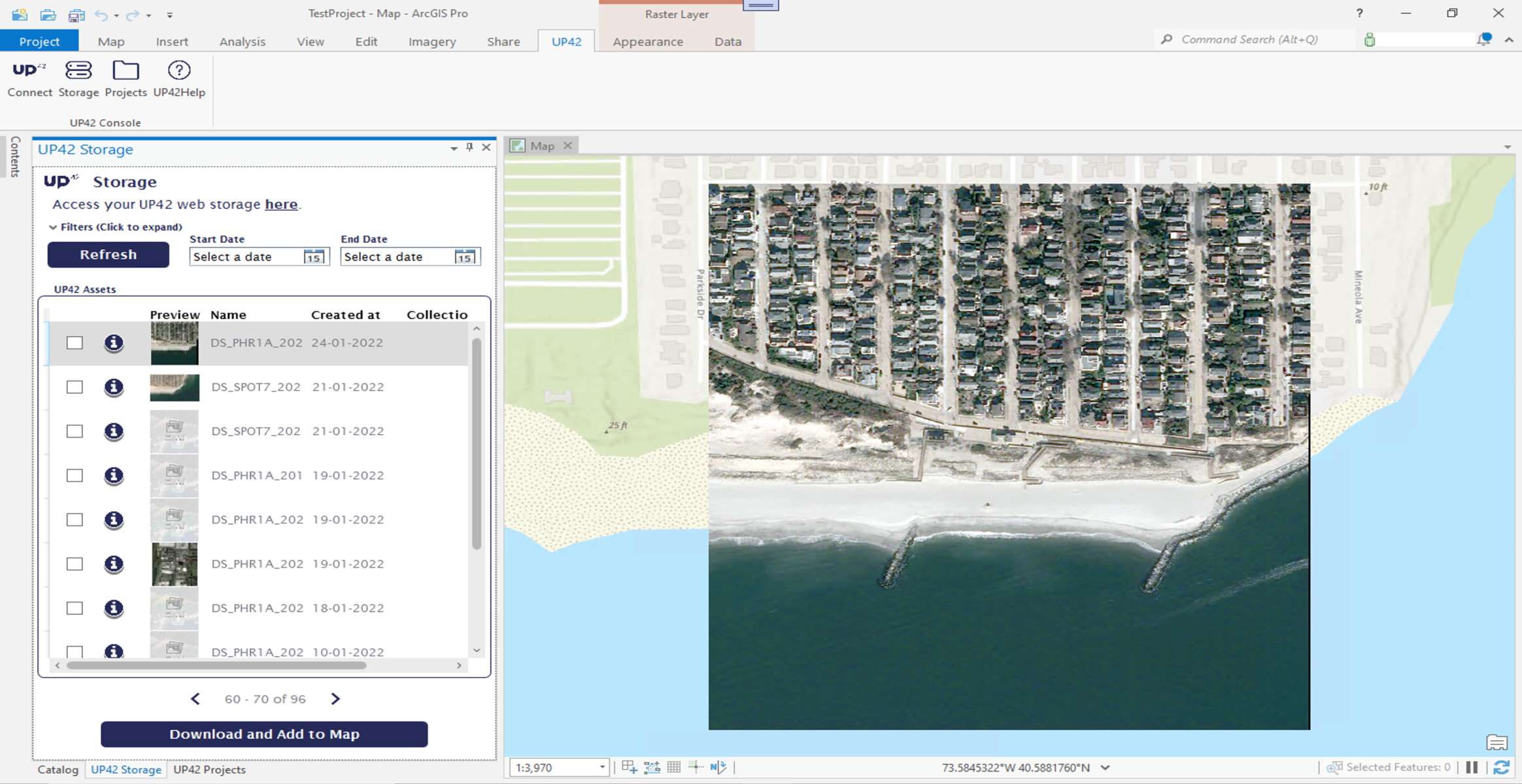
The UP42 ArcGIS Pro Add-in is a UI extension that lets ArcGIS Pro users quickly access UP42 storage and projects. The add-in will enable ArcGIS Pro users to seamlessly visualize and analyze their downloaded imagery from UP42 without leaving the Esri ecosystem.
Technical Information
The UP42 add-in for ArcGIS Pro offers users an easy, intuitive way to simplify and streamline their data access and visualization workflows. After ordering geospatial imagery from the leading dat
Pleiades Neo: The Most Detailed and Accurate Commercial Satellite Imagery

By Lurker,


With the 2021 launch and commissioning of the first two Pléiades Neo satellites, Airbus, Intelligence delivered on its promise of providing the highest native spatial resolution Earth observation satellite imagery to the commercial market. And in the coming months, Airbus will double down on its commitment to building the most powerful and versatile remote sensing constellation with the launch of two additional Pléiades Neo satellites.
Much has been said about the Pléiades Neo’s 30cm spati
-
Forum Statistics
8.8k
Total Topics43.5k
Total Posts


