- 0 replies
- 1,362 views
- Add Reply
- 3 replies
- 1,942 views
- Add Reply
- 0 replies
- 2,261 views
- Add Reply
- 0 replies
- 1,457 views
- Add Reply
- 1 reply
- 2,584 views
- Add Reply
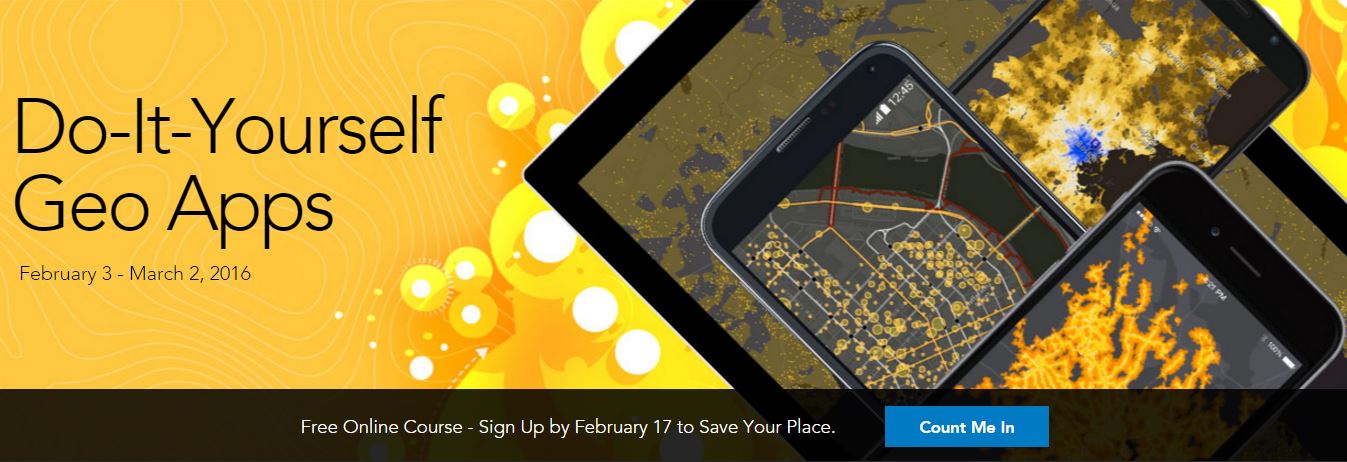
Do it Yourself Geo Apps - Free Online Esri Course

By shaimaa gamal,


Do-It-Yourself Geo Apps
February 3 - March 2, 2016
Anyone can build apps on the ArcGIS Platform.
You don’t have to be a software developer to build valuable geo-enabled apps that make your communities smarter and businesses more successful. This course will show you how to combine location and narrative in one application to better communicate and broadcast your story, create custom web applications that solve problems in your community, and build powerful native applications for iOS and A
UbiGEO Online Cad-Geo, new WEB-GIS
By Mesotech,
UbiGEO Online Cad-Geo, new WEB-GIS using a innovative technology is now available.
This software shows:
- an upgraded display speed ,
- advanced features for drawing,
- easy-to-use tools to create your own applications .
To view our demo: http://www.mesotech-ingenierie.net/#!demo/c1n8o
(Optimized for IE 10 and higher, and Edge)
Contact: [email protected]<script data-cfhash='f9e31' type="text/javascript"> /* */</script>
Hervé LE PEUVEDIC, Mesotech Ingénierie
Eos Positioning Systems Announces RTK NTRIP app for Mobile

By Lurker,


Eos Positioning Systems introduced a comprehensive RTK NTRIP app for Android that works with its Arrow line of RTK GNSS receivers. An Arrow GNSS receiver combined with the NTRIP app turns your Android smartphone or tablet into a powerful data collector capable of recording 1cm accurate GIS data in real-time.
The app, named Eos Tools Pro, has user-configurable audible and visual alarms to alert the user of high PDOP, lost RTK correction, unacceptable correction age and several other important
Corridor Corridor in Turkey With an eBee Drone
By ptapken,
Great video! Corridor Corridor in Turkey With an eBee Drone. View great case studies and videos on Geo-matching with this link. http://bit.ly/1Vv02L9.
Automatic tie point measurement in Erdas generate wrong placed tie points
By Ahmadabusaleh,


Hello All
I couldn’t figure out why the Erdas 2015 generates a wrong placed tie points when I use Automatic tie point generation measurement, have a look at the below example.
Here is the procedure of my work:
1- I have added tie points on the images (Manually added 3 tie points on shared locations in different images).
2- then I have added the GCPs.
3- I run the Automatic tie point measurement
4- the result was for example in image 1 the point was located at a tree while its locat
-
Forum Statistics
8.7k
Total Topics43.4k
Total Posts


