- 0 replies
- 1,167 views
- Add Reply
- 2 replies
- 1,307 views
- Add Reply
- 2 replies
- 2,214 views
- Add Reply
- 6 replies
- 1,867 views
- Add Reply
- 0 replies
- 1,395 views
- Add Reply
live map tracking server space issue
By adnan0001,
Dear Friend's
We have developed a tracking portal for vehicle tracking with live map and fleet management etc, The issue is that :
I want to know the logic behind the live map of the vehicles ,how much space does it required , what i know is that a developed portal with standard server can handle 10000 vehicles live on the map. Is this true , If we have more than this how can we handle , How is the costing
Is there any more solution and suggestion other than this above mentioned
Kindly
build 3D line directly on surface

By Kosta2002,

Good evening, dear experts and GIS lovers.
I hope local community can help me solve this. The problem is the following - it is necessary to build a polyline directly on DEM, not a projected line. The initial data below:
start coordinates (X, Y, Z),
azimuth
3D length (real, measured length)
DEM of the study area
Standard scheme (set point, CTRL + G, enter the azimuth and length) works only for 2D data and make only a projection on the surface, but projection of the line will always be diffe
How To Install An App To Turn A Smart Phone Into A GPS Receiver

By jonah,
Collecting high resolution spatial data for use in biological research used to require the purchase and use of a dedicated GPS receiver. However, almost all modern smart phones contain GPS receivers, and by downloading and installing a suitable app, you can turn your smart phone into a fully functioning GPS receiver.
This video shows you how to download, install and set up one such app, GPS Essentials, on an Android smart phone. While this is the GPS app that we, at GIS In Ecology, currently r
urban heat island
By Raghu Veer Degala,
I have a problem I want to find the land surface temperature of Bangkok using landsat8. I have everything to get it but the problem is landsat images are obtained during morning time but the maximum temperature will be afternoon period. How can I get the exact maximum temperatures of a day. is there any other data or procedure to get maximum temperature. help me thank you
Turns your phone into an earthquake detector

By Lurker,


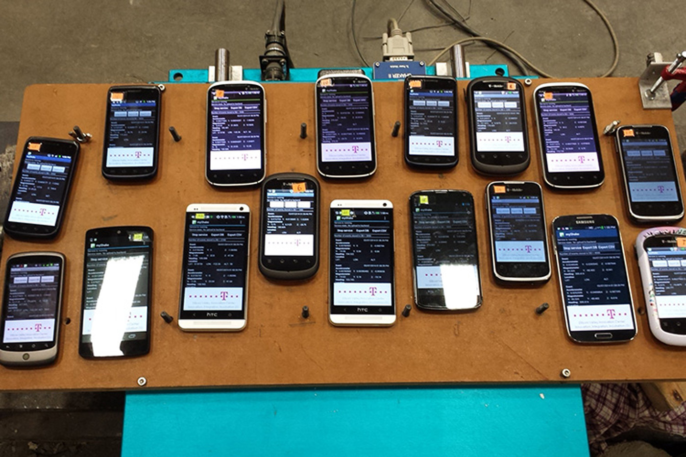
Your smartphone can already warn you about earthquakes. UC Berkeley, however, is going one step further: it wants your phone to help detect those quakes. The school has released an Android app, MyShake, that uses your phone's motion sensors to detect the telltale signs of tremors and combine that with the data from every other user. For all intents and purposes, you become part of a crowdsourced seismic station network -- you can confirm a quake just by leaving your phone turned on. That could b
-
Forum Statistics
8.7k
Total Topics43.4k
Total Posts


