- 0 replies
- 1,317 views
- Add Reply
- 0 replies
- 1,042 views
- Add Reply
- 0 replies
- 2,572 views
- Add Reply
- 13 replies
- 3,167 views
- Add Reply
- 11 replies
- 5,950 views
- Add Reply
European Transportation GIS Summit 2016

By Lurker,


The European Transportation GIS Summit will be held on 19-20 May; 2016 in Rotterdam, Netherland.
The European Transportation GIS Summit brings together GIS experts from road, rail, aviation, public transport, maritime and logistics transportation organizations in Europe and beyond to learn from each other’s challenges and successes. This meeting offers a unique opportunity to network with peers, solution providers and Esri personnel from your region.
Share your story explaining how you’ve used
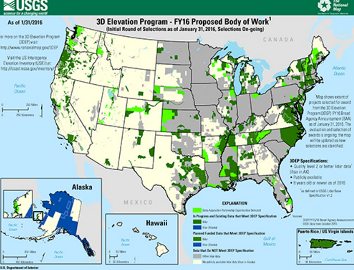
USGS Announces 3D Elevation Program (3DEP) 2016 Awards

By Lurker,


The US Geological Survey National Geospatial Program is pleased to announce the first round of awards resulting from the USGS Broad Area Announcement (BAA) for the 3D Elevation Program (3DEP), initially issued on July 17, 2015. (FedBizOpps: G15PS00558 Grants.gov: G15AS00123).
The BAA is a publicly accessible process to develop partnerships for the collection of lidar and derived elevation data for 3DEP. 3DEP presents a unique opportunity for collaboration between all levels of government, to
PCI Geomatics Releases GXL 2016

By Lurker,
PCI Geomatics, a world leading developer of remote sensing and photogrammetric software and systems, announced today the release of its GeoImaging Accelerator (GXL) 2016 – the latest version of the company’s proven, high-performance, and scalable image processing solution.
GXL technology provides significant improvements in automation, speed and efficiency by optimizing and distributing automated workflows. GXL 2016 brings two big additions to its capabilities through new add-on packages for th
ArcGIS Pro in Mac OS X

By Lurker,
ArcGIS for Desktop has been developed for Windows Operating systems, but there are many users out there running ArcGIS Desktop on Macs. Two options are available. The user can install Windows in Boot Camp, a native feature of the Apple Inc.’s OS X operating system, or they can use a virtualization program, such as Parallels or VMWare Fusion. In order to assess which option to use, it is important to understand each option, their limitations, then to configure for best performance. The Perform
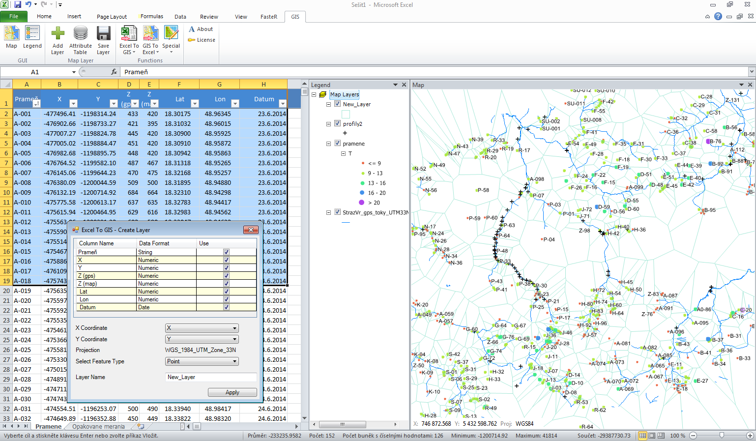
GIS.XL - Excel add-in for work with spatial data. Powerful features of Excel and GIS inside one window

By Lurker,


This tool I created in the first step for myself to increase efficiency at work with spatial data. As hydrogeologist I often work with spatial data. If I want to visualize these data, I must always export them to GIS program. These data transfers (between Excel and GIS programs) are not effective or quick. Because I not found existing solution that would suit me, I created this add-in. Later, when my colleagues see the result, they also want to use it. The tool was completed and now it may be us
-
Forum Statistics
8.7k
Total Topics43.4k
Total Posts


